
Streetly is an unusual part of Sutton Coldfield as it comes within the borders of three local authorities.
It lies around seven miles (11 km) to the north of Birmingham City Centre. It is uniquely located within the borders of Birmingham, Lichfield and Walsall district authorities, and is part of the West Midlands conurbation. It is adjacent to Sutton Coldfield, New Oscott, Great Barr, Four Oaks, Little Aston and Aldridge.
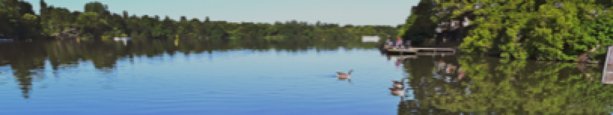
Streetly is a semi-rural district, lying close to many farms and is separated from Walsall by open fields and the North Birmingham green belt. The local area includes Sutton Park of which Streetly has its own dedicated gate. Streetly is part of the Birmingham Metropolitan Area and the Birmingham Urban Area.
Streetly is named after Icknield Street, a Roman road, of which parts can still be found in Sutton Park. Streetly was a rural area of Staffordshire until the 1960s, when the character of the area became suburban due to the mass construction of modern housing in response to the urbanisation of Birmingham. Streetly was in Aldridge-Brownhills Urban District until the creation of the metropolitan West Midlands County in 1974.
